How It Works
From first flight to harvest in four simple steps.
Survey the field
We fly a mapping drone to capture high-resolution and multispectral imagery of your farm.
Analyse crop health
Our agronomists turn the imagery into NDVI maps showing exactly where crops are stressed.
Precision application
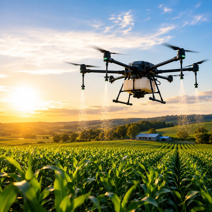
Spraying drones apply fertilizer or crop protection only where it is needed, at variable rates.
Monitor & improve
Repeat scouting flights track recovery and feed results into next season’s plan.
One app from mapping to spraying
Plan routes, set application rates and track every flight from the same controller. Field boundaries from your survey drone sync automatically to your spraying fleet, so there is nothing to re-enter.
- Automatic route planning with obstacle avoidance
- Variable-rate prescription maps
- Flight logs and reports for every field
Frequently asked questions
An Agras T50 can cover up to 21 hectares per hour under ideal conditions; a typical day is 80–150 hectares depending on refill logistics.
Most countries require a remote pilot certificate for commercial spraying. Our training programme prepares you for certification.
We recommend spraying in winds under 6 m/s and avoiding rain. The flight app warns you when conditions are unsuitable.
Rice, maize, cassava, cocoa, soybeans, vegetables, orchards and plantations. Orchard mode handles tree crops on slopes.
Yes. If you would rather not own a drone, our certified crews can treat your fields on a per-hectare basis.
Top model for agriculture
Ready, Steady, Go
Thanks! We’ll be in touch soon.